

How Technology is Transforming India’s Mining Industry: The Rise of Drone Surveys, GIS & Digital Mine Planning
Published by Mining Setu
India’s mining sector is rapidly embracing digital technologies to improve productivity, safety, and environmental compliance. From drone-based surveys to GIS mapping and digital mine planning, technology is transforming the way mining projects are planned, monitored, and managed.
With the government’s continued focus on transparency, sustainable mining, and ease of doing business, mining companies are increasingly adopting advanced surveying and planning solutions to improve operational efficiency and regulatory compliance. Recent reviews by the Ministry of Mines have also highlighted mineral exploration, sustainable mining, and ease of doing business as key priorities for the sector.
Drone Surveys: Faster, Safer, and More Accurate
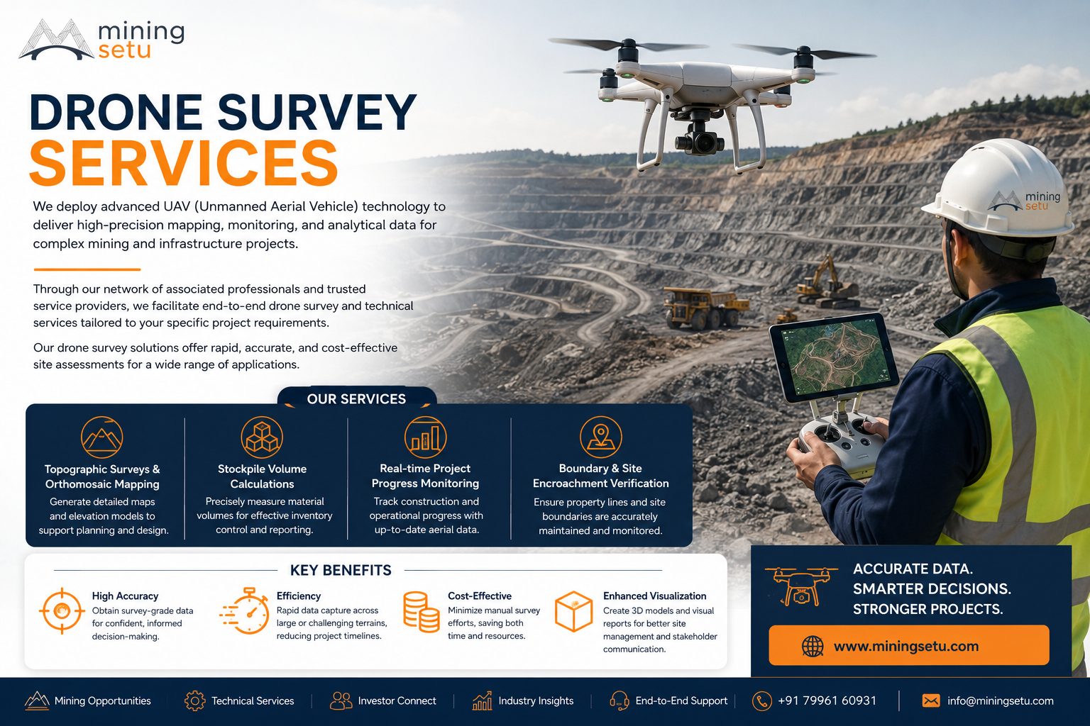
Drone surveys have become an essential tool for modern mining operations. Using UAV technology, mining companies can quickly generate high-resolution aerial imagery, digital elevation models (DEMs), contour maps, and volumetric calculations.
Key benefits include:
- Faster mine surveys with reduced field time
- Accurate stockpile volume measurements
- Improved mine planning
- Enhanced safety by minimizing manual surveying in hazardous areas
- Better monitoring of excavation progress
GIS and Digital Mapping
Geographic Information Systems (GIS) enable mining professionals to integrate geological, topographical, environmental, and infrastructure data into a single digital platform.
GIS supports:
- Mineral exploration
- Land-use analysis
- Environmental monitoring
- Infrastructure planning
- Decision-making based on spatial data
Digital Mine Planning
Modern mine planning software helps optimize pit design, production scheduling, haul roads, waste dump planning, and resource utilization.
Digital planning enables:
- Improved resource recovery
- Lower operating costs
- Better production forecasting
- Compliance with statutory requirements
- Sustainable mining practices
Sustainable Mining Through Technology
Technology also plays a crucial role in environmental management by enabling regular monitoring of mine boundaries, reclaimed land, vegetation cover, and water bodies.
With accurate digital data, mining companies can prepare better reports for regulatory authorities while ensuring responsible mining practices.
The Road Ahead
India’s mining industry is entering a new era where digital technologies are becoming standard practice rather than optional tools. Companies that invest in drone surveys, GIS, and digital mine planning will be better positioned to improve efficiency, reduce operational risks, and meet evolving regulatory requirements.
As mining projects become more data-driven, technology will continue to play a vital role in supporting sustainable growth and responsible resource development.
How Mining Setu Can Help
Mining Setu provides professional mining consultancy and technical solutions, including:
- Drone Survey Services
- DGPS Survey
- GIS Mapping
- Mine Planning
- Geological Investigation
- Technical Consultancy
- Project Management Support
Whether you’re planning a new mining project or optimizing an existing operation, our team delivers reliable, technology-driven solutions tailored to your requirements.
Visit: www.miningsetu.com